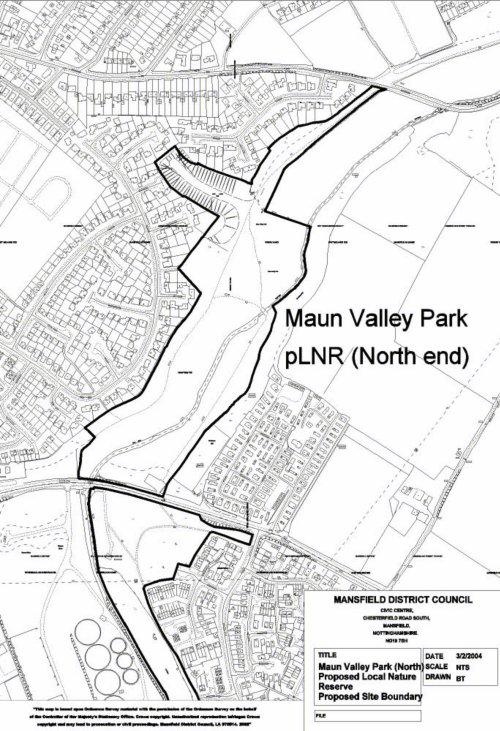
Maun Valley
Your contact information info@company.com
|
|
|
|
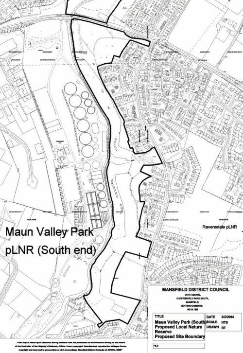
Maun Valley
|
|
|
Your contact information info@company.com
|
|
|
|
||||||||||||||||||||||||||||||||||||||||||||
|
Last updated:
19/03/2004
|
|